Earlier in April it was reported that the Government of Ukraine is planning to launch production sharing agreement (PSA) tenders for two broad areas in the western Carpathia region of the country. The tender process is scheduled to last for six months, and an official announcement of the tender launch is expected to be posted shortly by the country’s Ministry of Energy. See here for more details.
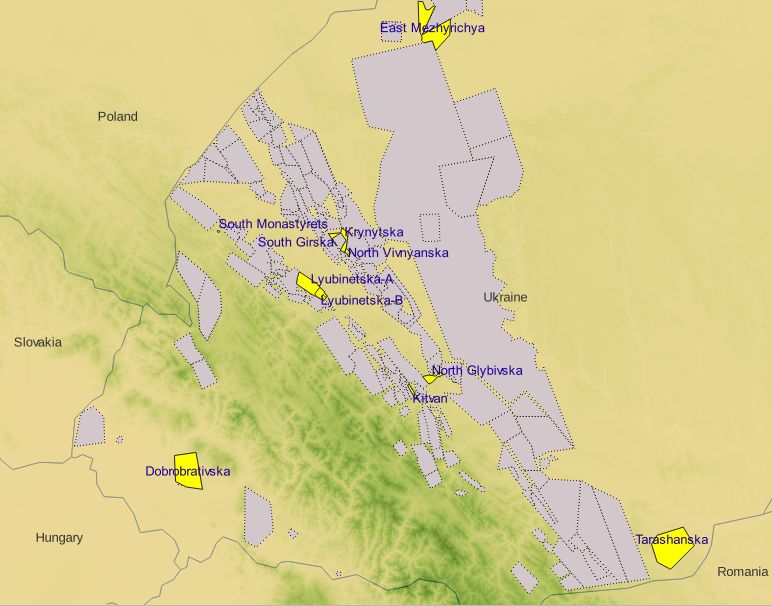
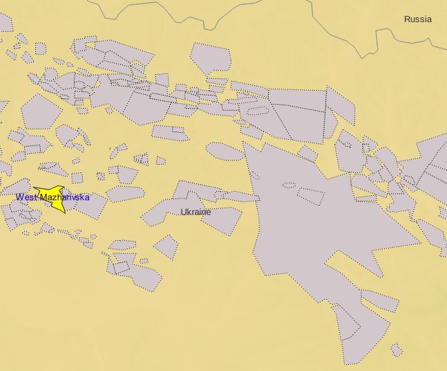
The PSAs involve 6 blocks from the ‘Mezhygirska‘ area, and 8 blocks from the ‘Svichanska‘ area. The region is an established petroleum province, and though considered mature, significant opportunities are believed to exist to drill deeper exploration targets and to test enhanced recovery from existing and untapped hydrocarbon-bearing zones, particularly through the application of modern imaging and drilling technologies.
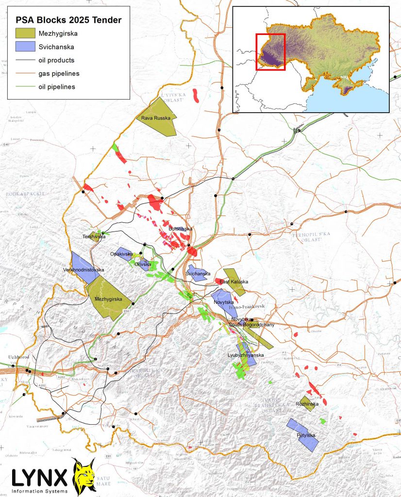
[Download a higher resolution version of the above map from here]
Bidders must pledge to carry out new potential field surveys and 3D seismic acquisition, in addition to drilling at least two exploratory wells during an initial exploration phase (usually 5 years). The minimum investment commitment during the first stage will be determined based on the results of the tender, but must be at least 1 billion UAH (~$24 million USD).
These tenders are part of Ukraine’s strategy to attract foreign investment and reduce dependence on energy imports. The PSA terms typically include a 50-year agreement duration, a cost recovery ceiling of 70%, and a minimum state profit share of 11%.
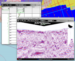
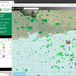
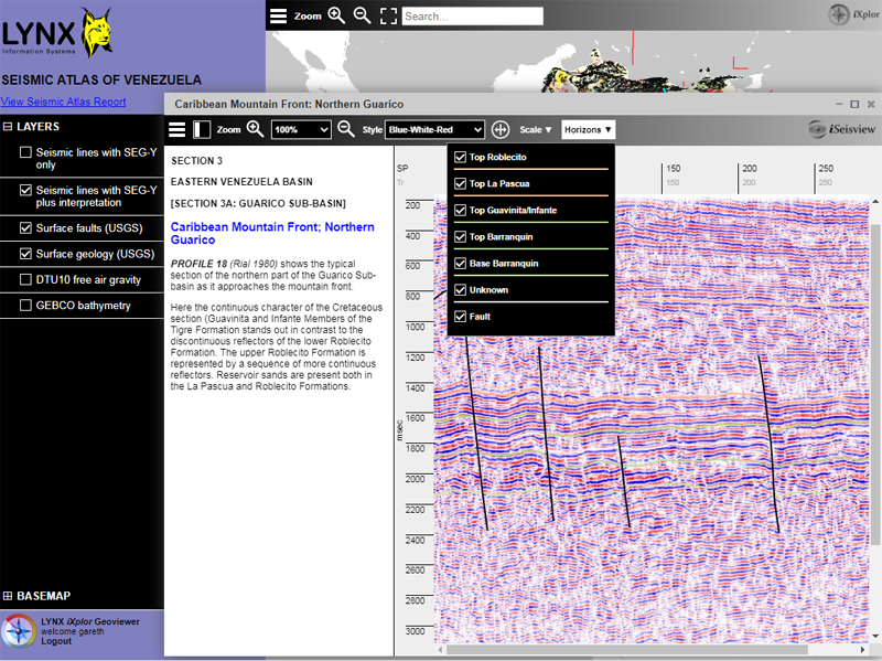
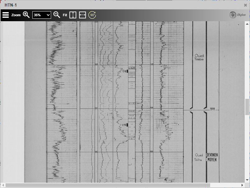
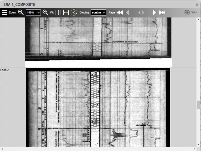
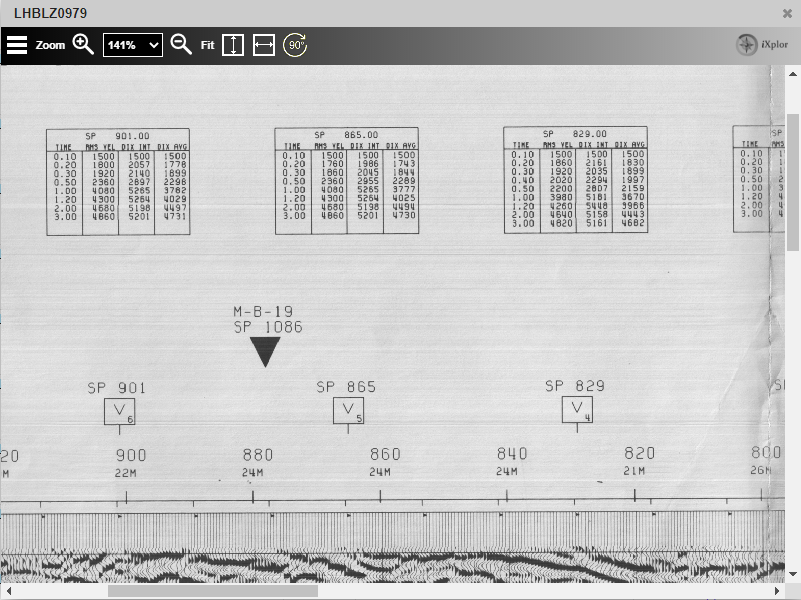
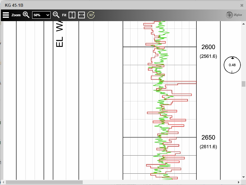
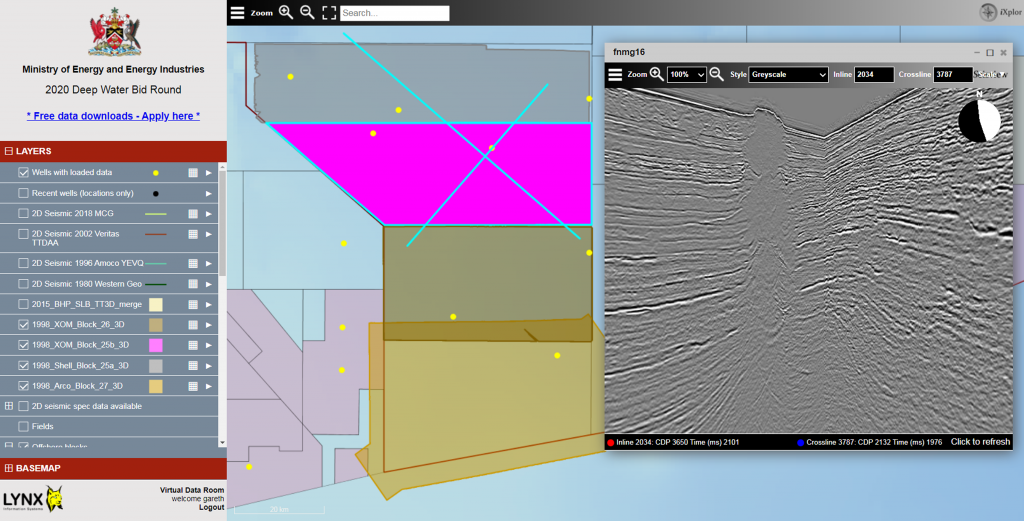
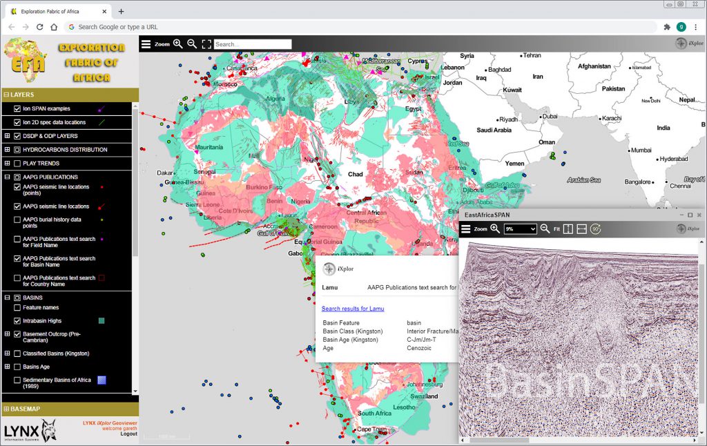
Lynx Information Systems Ltd is a leading source of knowledge on upstream Oil and Gas matters in Ukraine, and has built a highly organised GIS database of the entire country. To support the country’s efforts to promote new oil and gas investment, we plan to launch a virtual data room (VDR) to showcase available data and opportunies in Western Ukraine. More details to be provided shortly.